 PLOT LUCK
Tupac Shakur at Flamingo & Koval
The Las Vegas intersection associated with the 1996 shooting of Tupac Shakur is an example of history attached to an otherwise ordinary piece of street grid.
- Era
- September 7, 1996
- Public location
- Public intersection area near E. Flamingo Rd. and Koval Ln.
- In Plot Luck
- Physical Las Vegas discovery; trusted live Real GPS gate.
Is it worth visiting?
- Access / admission
- Ordinary busy public intersection, not a managed memorial or museum.
- Suggested time
- 5–10 minutes at most if already nearby.
What to expect
For fans of Tupac, the area has profound cultural significance. As a physical destination, however, it is still a traffic intersection with little interpretive infrastructure; the history is more powerful than the sightseeing experience.
Before you go
Stay on lawful public sidewalks, obey crossings and never step into traffic or stop a vehicle for photos. Do not expect a formal memorial or visitor facilities.
PlotLuck editorial visit rating (not a Google review score). Conditions, access and fees may change. Information checked October 17, 2026; verify with the venue before traveling.
The story
On the night of September 7, 1996, Tupac Shakur attended a Mike Tyson fight at the MGM Grand with Death Row Records head Suge Knight. Later that evening, while traveling through Las Vegas, their car stopped near the intersection of Flamingo Road and Koval Lane. A white Cadillac pulled alongside and gunfire struck the BMW. Shakur was critically wounded and died six days later at age 25.
The event became one of the most discussed episodes in hip-hop history. Yet the physical setting is not a grand monument. It is a busy Las Vegas intersection used by thousands of people who may pass through without realizing what happened there. That contrast is exactly why location-based history can be powerful: the map can reveal meaning that the streetscape itself does not announce.
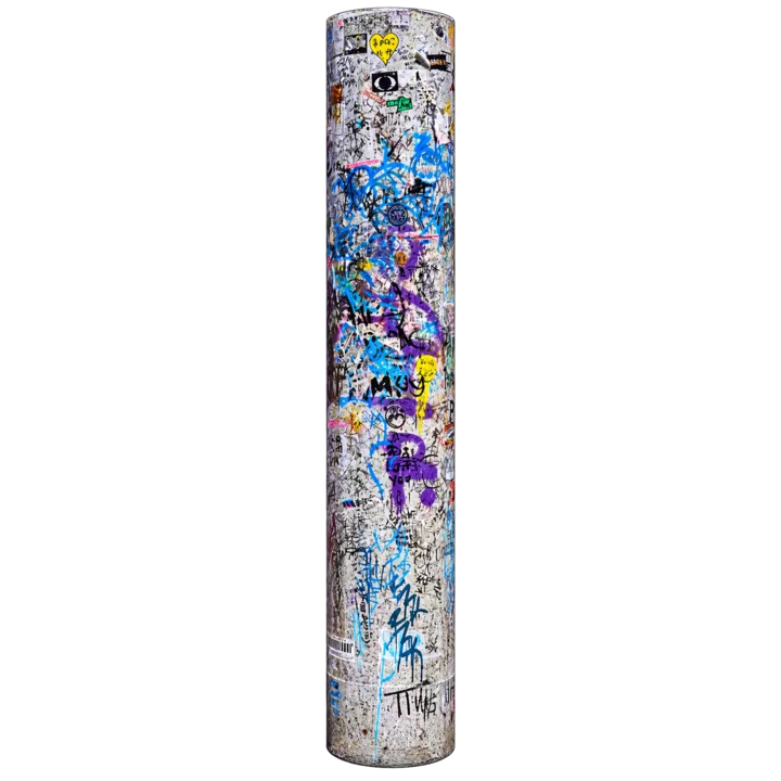
Over time, fans have left informal memorial marks in the area, including at a utility pole near the intersection. Plot Luck represents the location with a stylized memorial-pole icon rather than attempting to turn the site into an official monument. The game’s public story is about the historical location and its cultural memory, not about treating an active roadway as an attraction.
This is also one of the places where responsible map design matters. Players should remain on public pedestrian areas, follow traffic rules and never step into a roadway because a digital marker is nearby. Plot Luck’s discovery system is designed around a canonical map plot, not an instruction to stand on an exact dangerous point.
Why it belongs in Plot Luck
A city’s cultural history often lives in ordinary places. Including this location allows the map to recognize music history without pretending the intersection is a conventional museum or tourist site.
Plot Luck’s public history pages are separate from the reward authority. Reading this page does not claim a reward. The live game decides physical-visit eligibility from its existing trusted location rules.
Sources & further reading
- Associated Press — timeline of the September 7, 1996 shooting
- Los Angeles Times archive — 1996 shooting report
Plot Luck summarizes these sources in its own words. External sites control their own current hours, access rules, pricing and content.