 PLOT LUCK
The Springs Preserve
The desert water source that explains why Las Vegas existed here long before casinos defined its image.
- Era
- Ancient water source to present
- Public location
- 333 S. Valley View Blvd., Las Vegas
- In Plot Luck
- Physical Las Vegas discovery; trusted live Real GPS gate.
Is it worth visiting?
- Access / admission
- Ticketed cultural and nature attraction; current admission and exhibit availability vary.
- Suggested time
- Allow roughly 2–4 hours, depending on exhibits and walks.
What to expect
The springs explain why Las Vegas became a settlement in the first place. Museums, gardens and trails turn that central fact into a half-day experience with enough variety for families, local-history enthusiasts and people who simply want to walk.
Before you go
Wear comfortable shoes and bring water for outdoor trails. Check the official calendar for exhibit schedules, seasonal closures and special events rather than relying on the map marker alone.
Check official visitor information and updates ↗
PlotLuck editorial visit rating (not a Google review score). Conditions, access and fees may change. Information checked October 17, 2026; verify with the venue before traveling.
The story
Las Vegas did not begin with neon. It began with water. The site now protected as the Springs Preserve sits around the historic Las Vegas Springs, an oasis that supported Indigenous communities for thousands of years and later guided travelers, traders and settlers through the valley. The Preserve itself calls this place the “birthplace of Las Vegas,” because the springs and surrounding meadows gave the valley both its name and its reason for becoming a stopping point in an otherwise arid landscape.
The story reaches much farther back than the modern city. Springs Preserve history identifies long Indigenous use of the area, including Nuwuvi (Southern Paiute) communities and earlier peoples who relied on the springs and creek. In the nineteenth century the water source became a landmark on travel routes through the region. Mexican scout Rafael Rivera reached the valley in 1829, and later expeditions and Old Spanish Trail traffic continued to depend on the water and grass here.
As Las Vegas grew, the relationship with groundwater changed. Wells, railroads, urban growth and heavy pumping lowered the water table. The natural spring flows eventually stopped, while the valley increasingly depended on engineered water systems and Colorado River supplies. That makes the site more than a preserved origin story: it is also a compact lesson in how a desert city grows, how water systems shape settlement, and why conservation remains central to Southern Nevada.
Today the 180-acre Springs Preserve combines museums, botanical gardens, trails, archaeology and environmental education. It opened to the public in 2007 after decades of preservation work around a site that had already been listed on the National Register of Historic Places. Plot Luck uses the historic-well area as a location-based discovery because the map makes more sense when the player can connect modern Las Vegas to the water underneath its history.
Why it belongs in Plot Luck
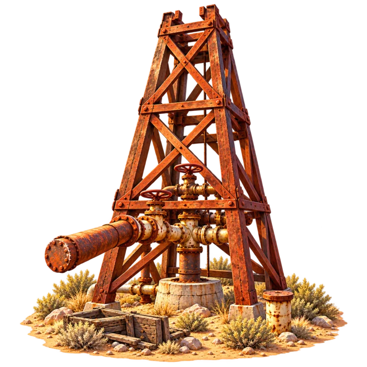
This is the natural starting point for the collection. It explains the valley before the casinos and gives a physical answer to the question “why here?” The in-game icon is deliberately a historic well/derrick image rather than a generic casino symbol.
Plot Luck’s public history pages are separate from the reward authority. Reading this page does not claim a reward. The live game decides physical-visit eligibility from its existing trusted location rules.
Sources & further reading
Plot Luck summarizes these sources in its own words. External sites control their own current hours, access rules, pricing and content.